


If you’ve ever looked at your ride on myWindsock, you know how important the weather is for cycling. Headwinds, tailwinds, air pressure, and even temperature can affect your speed and effort. But where does this weather data actually come from?

What Is a Weather Forecast?
A weather forecast is a prediction of what the weather will be like in the future — whether that’s in the next hour or several days ahead. Forecasts tell us things like:
- How strong the wind will be
- What direction it will blow
- Whether it will rain
- What the temperature and air pressure will be
These forecasts help cyclists plan everything from clothing choices to pacing strategies. But how do we know what the weather will do?
Forecasts are made using something called weather models. These are complex computer programs that simulate the atmosphere using current weather observations. There are many different weather models used around the world, and a rider in the UK might see forecasts based on models like the UK Met Office’s UKV model, the European Centre for Medium-Range Weather Forecasts (ECMWF) model, or the Global Forecast System (GFS) model. Each model has different strengths — some are better at short-term, very local predictions, while others excel at longer-range forecasting across wider areas.
Here’s a simplified version of how it works:
- Observation: Weather stations, satellites, balloons, aircraft, and ships collect data from all over the world. This includes temperature, wind, humidity, and more.
- Analysis: This data is fed into supercomputers that look at current weather patterns.
- Modeling: These computers run simulations based on the laws of physics to predict how the atmosphere will behave in the future.
- Forecast Output: The result is a weather forecast — including maps, numbers, and wind arrows — like the ones myWindsock uses to simulate your ride
myWindsock uses forecasts, not just current conditions. That means when you plan a ride for tomorrow or analyse one from last weekend, the weather details are based on predicted conditions that change across time and distance — exactly what you need to understand how the wind or rain helped or hindered your ride.
myWindsock uses forecasts, not just current conditions. That means when you plan a ride for tomorrow or analyse one from last weekend, the weather details are based on predicted conditions that change across time and distance — exactly what you need to understand how the wind or rain helped or hindered your ride.
What do we do with the weather forecasts and why isn’t it always perfect?

As you’ll know, weather forecasts aren’t always perfect and these models have errors associated with them. These errors propagate through the myWindsock physics models (the things we use to work out how fast you’ll go over a given distance (so if the weather model says the wind will blow faster than it ends up blowing, even if our physics engine is perfect, the prediction will be wrong). Of course, here at myWindsock we spend time accounting for this and doing what we can but it’s a reality of trying to make an extremely complicated prediction.
How do we make predictions?
The best way to think about it is by considering the “equation of motion” of a cyclist. An “equation of motion” is something physicists use in order to model something. Now, I’ll let you into a secret – there’s always stuff that physicists just don’t count because the effects are small or including it just makes the mathematics a bit too hard. What you have to do is think of all the things speeding the cyclist up (pedal force, tailwind force etc) and all the things slowing the cyclist down (headwind force/air resistance, rolling resistance etc) and add these up. Once you do that, you’re left with a number which will either be positive or negative which tells us whether or not the bike is speeding up or slowing down.
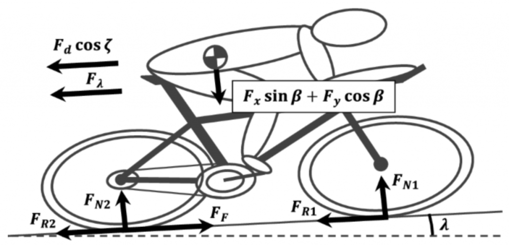
We have a physical model similar to the one above which does all of this – some of the inputs come from the user (like power numbers and the gradients from the GPX file you use as well as rolling resistance in advanced settings) and others from the weather forecast models. We then add all of these up, calculate the forces at each step along the course, use the result of this calculation to figure out the speed then add these speeds up to get a time prediction at the end of the course (if you’ve already don’t the course and upload a ride file, we do all of this backwards and figure out the resistive forces instead).
What can you do improve your predictions?
If you find that our predictions are off, there’s two steps you can take…
- Make sure the forecast you use is as recent as possible – so update the forecast. It will change from the one you made 2 weeks out, as you’ll have experienced weather forecast accuracy decays with time from the date you’re trying to forecast.
- Check your settings – bike weight, cda, rolling resistance and such, take some time to make sure these values are as close to accurate as possible. Methods for doing this could (and probably will) make an entire blog in their own right.
While weather forecasting and physics modeling will never be perfect, myWindsock brings you as close as possible to understanding how the conditions around you shape your ride. We are the best in the business. By blending cutting-edge atmospheric data with detailed physics simulations, we offer a powerful tool to plan, analyse, and learn from your efforts on the bike. And with a little help from you—up-to-date forecasts and dialled-in ride settings—we can make those predictions even better. After all, cycling may be part science and part suffering, but we’ll do everything we can to take the guesswork out of the wind.