
 UK Time Trial Events





It is somehow already October which means only one thing, it is National Hill Climb Championships. At the time of writing, the race is 11 days away which is a bit far for an accurate forecast but close enough for a detailed course review. This year the champs course is on Porlock Toll Road in Somerset
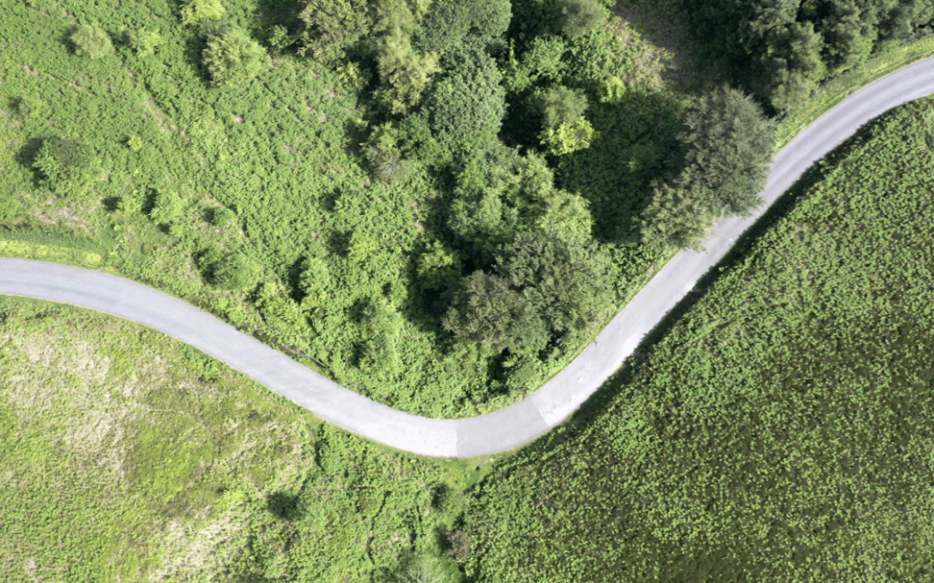
Porlock toll road is a 4.1 mile climb – one for the long climb specialists. It’s a relatively shallow climb with a decent range of gradients that we’ll go into later, but our best guess (though it’s heavily wind dependent) is that the men’s race will be won in a time around 13:45 and the women’s in a time of around 17:00 (or, wind adjusted equivalent times). All the fastest climbs have been set on days with a strong tailwind. The shallow gradients mean the wind can impact times up here, but this is offset by the shelter most of the way up.
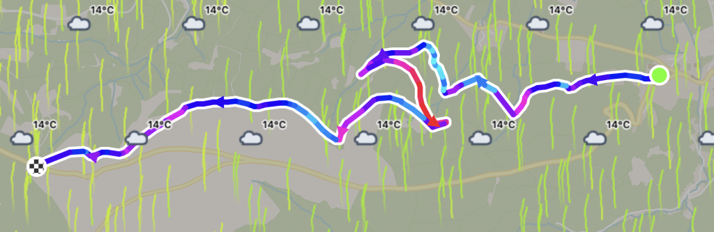
The map
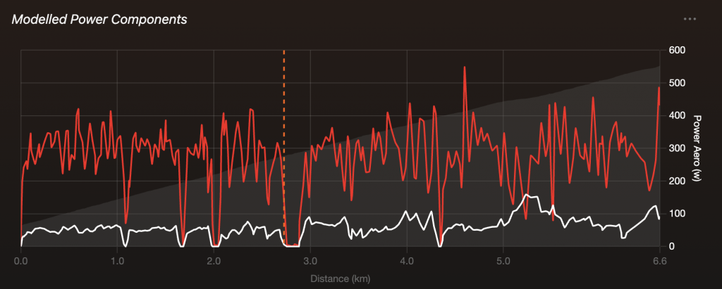
With more than 10 corners and two hairpins, this is a twisty climb. Gabe Dellar, hill climb hitter and friend of myWindsock, told us there’s two points where he had to stop pedalling while riding up the climb when he did his course recon.
In the 1960s it was actually used as an RAC Rally stage, one of the fastest drivers at the time being the late Pat Moss, sister of Stirling Moss, who completed the 4.1 miles in 3 minutes and 56 seconds which is an average speed of over 100kph.
The profile
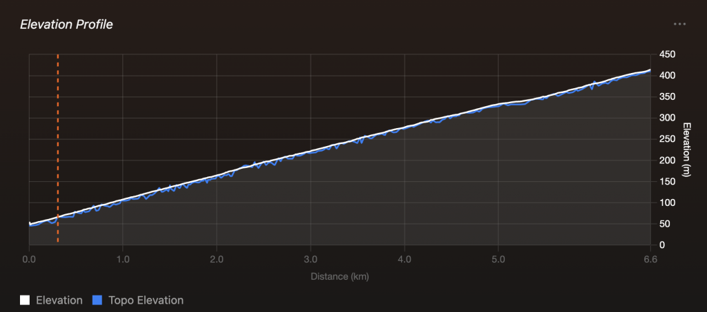
This road is a shallow climb. The speeds will be high and it’s one for the lightweight aerodynamic enthusiasts. The sharp corners are sharp enough that a second or two can be gained or lost from bike handling. Tyre choice will be uniquely interesting if it’s wet on the morning of race day – which is looking possible.
The road surface
One report we heard back from Gabe was that the road surface on the climb is not perfect. This isn’t a surprise for a small lane in the South West of England but it’s worth bearing in mind. There is also a cattle grid on route. Our tip here is to ride a recon, of course – but with this being a toll road it will cost you a quid if you want to ride up. If you’ve spent all your money on drills to save weight on your hill climb bike but are concerned about the road surface, you can check it out on Street View.
We’ll post a detailed forecast late next week, with predicted times and pacing advice as well as physical wind features.
